Contributed photo
18 July 2010 - 16:09
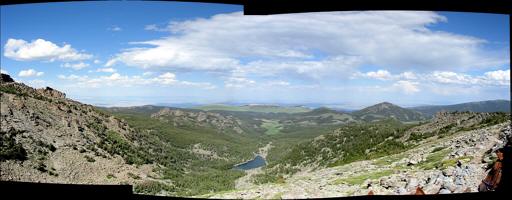
Looking east from near Adams Pass, Bald Mountain in the distance, left of center. Funnel Lake (elevation 9,906'; 3019 m; lat. 42d 50m 48s / long. -109d 5m 55s) feeds Ranger Creek which then flows into Dickinson Creek. Compare to photo “f.” |